
Engineering-Grade
Spatial Data You Can Build On
Kokeb Geomatics delivers precise surveys, drone mapping and geospatial intelligence for mining, infrastructure and land development — reliable, compliant, and operationally relevant.
Drone Mapping
Mine Monitoring
Engineering Survey
GIS & Analytics
Built Around Mining & Survey Work
Kokeb Geomatics Engineering is the geospatial and surveying division of Kokeb Enterprises Limited. We deliver engineering-grade spatial data, surveys and geospatial intelligence that support mining, infrastructure, construction, utilities, agriculture and land administration across Zambia and the SADC region.
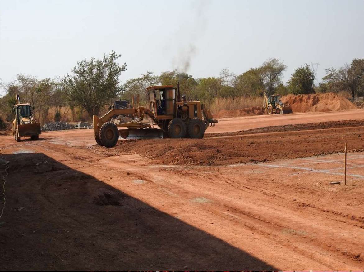
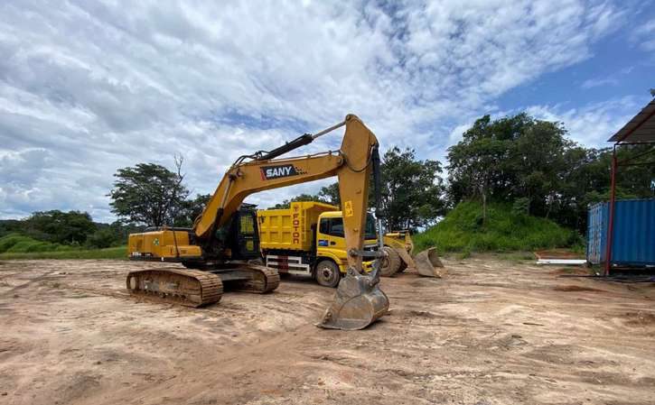
Mining-Site Monitoring
Regular, survey-grade monitoring that mines rely on for production reporting, reconciliation and safety — delivered on a repeatable monthly cycle.
- Stockpile & excavation volumetrics
- Pit, haul-road & tailings monitoring
- Highwall & structure deformation monitoring
- Progress tracking & change reporting
Survey & Mapping
Accurate topographic and engineering surveys for design, construction and as-built records — from drone mapping of large sites to precise on-the-ground setting-out.
- Large-scale drone topographic mapping
- Orthomosaics, DTM/DSM & contours
- Structural setting-out & site control
- As-built surveys & QA/QC
Four Pillars of Geospatial Capability
From aerial data capture to GIS analytics and precise engineering survey, delivered as decision-ready outputs.

Remote Sensing & Photogrammetry
Drone and satellite data capture and processing for accurate mapping, modelling and monitoring over large areas.
Large-scale drone topographic mapping
Accurate site mapping over large areas for planning, earthworks and design coordination.
Road / service-lane / wayleave mapping
Corridor mapping for roads, fibre, power lines and pipelines to support design and compliance.
Digital surface modelling (DTM/DSM)
Bare-earth and surface models for earthworks, drainage and grading decisions.
Stockpile & excavation volumetrics
Survey-grade volume reporting for production tracking, reconciliation and payment certification.
Satellite data processing
Large-area monitoring and change detection over time for licence areas and the environment.
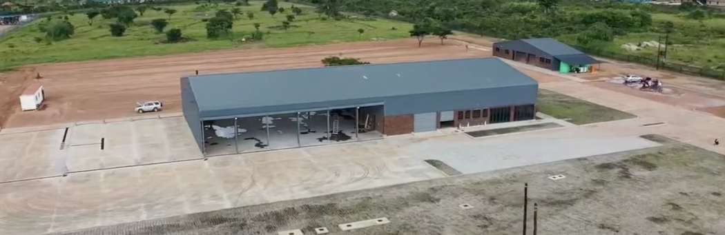
GIS Data Management & Spatial Analytics
Structured spatial data, analysis and dashboards that turn maps into decision-ready intelligence.
Geodatabase design
Structured, single-source spatial databases with standards, QA/QC and documentation.
Decision-support mapping
Spatial analysis that answers where-to-build, where-the-risk-is and where-to-prioritise questions.
Development land-use planning
Zoning concepts and layout logic to support planning approvals and execution.
Geodata visualisation & dashboards
Management dashboards presenting assets, progress and spatial KPIs in one place.
Land-use reports
Concise assessments of current land use, constraints and planning implications.
Agricultural planning & analytics
Field zoning, drainage and monitoring layers to plan and run farms more efficiently.
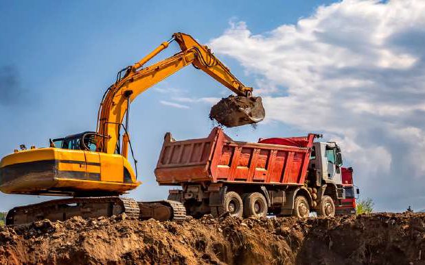
Engineering Surveying
Precise on-site surveying that ties construction to design — from control and setting-out to as-builts and monitoring.
Structural setting-out
Transferring design positions, lines and levels precisely onto the ground.
Site control establishment
Stable reference frameworks so all site and survey work shares one coordinate system.
Boundary verification
Confirming boundary positions against available records and flagging discrepancies.
As-built surveys
Verified records of what was constructed, for handover, certification and maintenance.
Deformation monitoring
Repeat measurement of structures and ground to detect movement and manage risk.
Site point-cloud modelling
Dense 3D capture of existing conditions for measurement, modelling and coordination.
Survey QA/QC
Independent checks that confirm survey outputs meet project requirements.
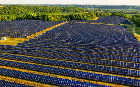
Hydrological & Utility Mapping
Mapping and modelling of utilities, drainage and flood risk to protect assets and inform design.
Utility network mapping
Reliable spatial records of fibre, power and underground pipe networks for operations and planning.
Flood-risk analysis
Identifying flood-prone zones from terrain and drainage to guide design and mitigation.
Surface run-off modelling
How rainfall moves across a site — for drainage design and erosion control.
Precision, Compliance, and Local Strength
Engineering discipline & QA/QC
Independent checks and clear standards mean decision-ready, defensible spatial data — not just pretty maps.
Compliant & licensed operations
Drone operations conducted to Zambian aviation (ZCAA) requirements, with qualified survey personnel.
Deep mining & infrastructure experience
Built around the safety, scheduling and accuracy demands of Zambia’s mines and major projects.
Modern technology
Survey-grade GNSS, RTK/PPK drones, LiDAR/3D scanning and GIS — accuracy down to centimetres.
Part of Kokeb Enterprises
Backed by an established Zambian infrastructure and engineering group with a track record clients trust.
Local reach, regional capacity
Rooted in the North-Western Province and Copperbelt, with capacity to support projects across Zambia and SADC.
The Right Tools, Properly Operated
Our capability combines survey-grade instruments with compliant, well-governed operations — so the data we deliver stands up to engineering and audit scrutiny.
- GNSS / GPS geodetic positioning (RTK & PPK)
- Survey drones with RTK/PPK for aerial mapping
- LiDAR & 3D laser scanning
- Total stations & precise levelling
- GIS & geospatial data processing
- ZCAA-aligned, compliant drone operations
Let's Map Your Project
Tell us about your site and what you need, and our geomatics team will respond with a scope and quote. The more detail you can share, the faster we can help.
info@kokebenterprises.com
Website
www.kokebenterprises.com
Lusaka Office
Plot 610/4AA Zambezi Road, Foxdale, Lusaka
View on Google MapsSolwezi Office
Stand Number 7745, Kansanshi Road, Solwezi, Zambia
View on Google MapsHelpful to include: project location/boundary, purpose (design, construction, compliance, monitoring), required deliverables & formats (PDF/CAD/GIS), timelines, and any existing records.